Welcome to our new blogs that now include some videos. John has taken up videoing some of the sites we see, as pictures often don’t really show the magnificent scenery in some areas and later we will have drone footage too.
….When we have mastered the art of this amazing little machine, purchased later in this period.
We left Moana south of Adelaide and drove across the Fleurieu Peninsula towards lake Alexandria and Milang then north to the Longhorn Creek wine region (this was just a quick drive though), then onwards to Meningie on Lake Albert. Lake Albert joins Lake Alexandrina at its western northern point.
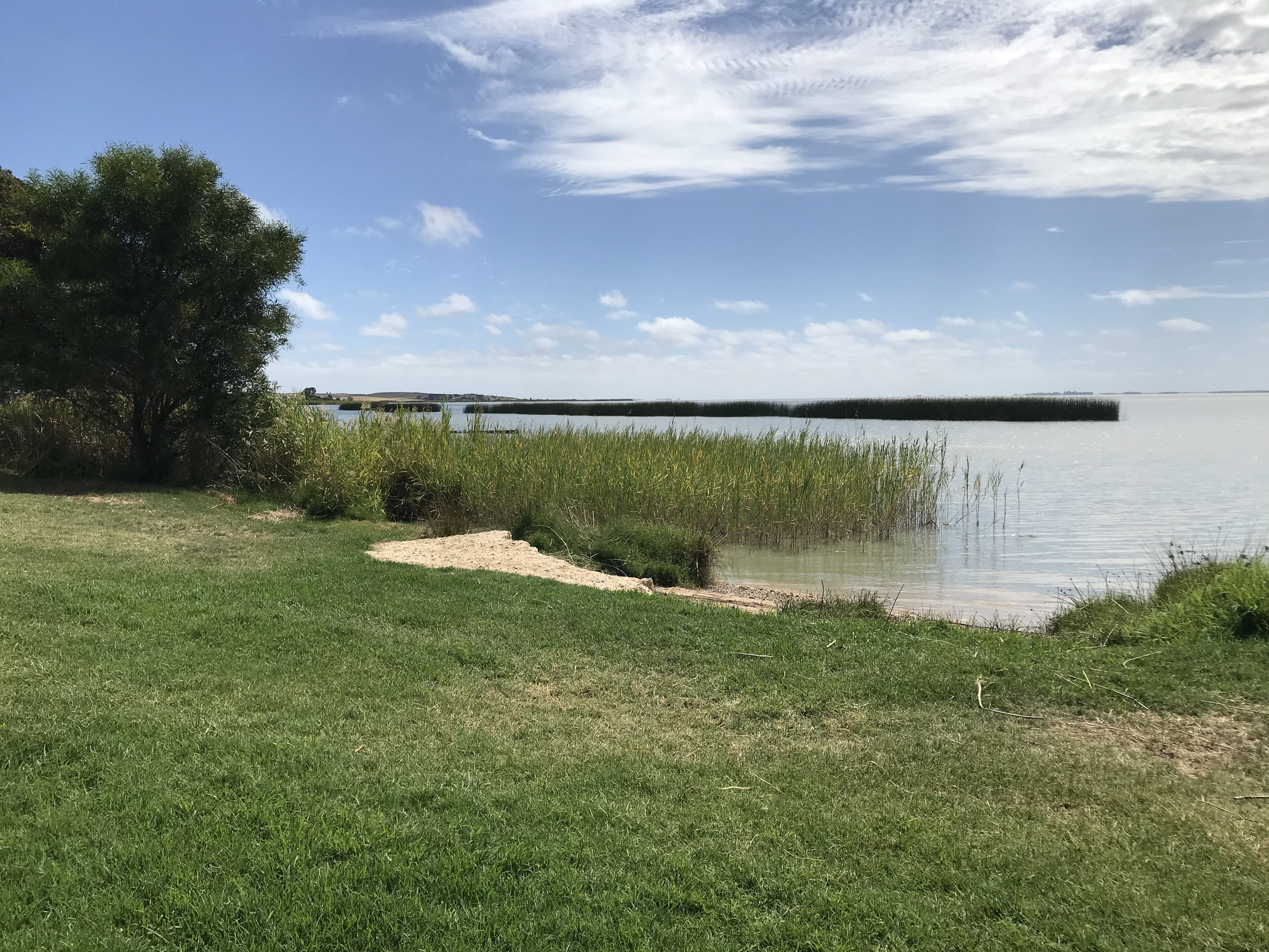
The van park was right on the lake and a great spot to stop for two nights with this lovely view from our van.

The first afternoon at Meningie was making decisions re the new van and paying deposits etc. More photos below of Meningie closer into town.


The following day we drove the scenic drive along Lake Albert to the point where it meets Lake Alexandrina and crossed the ferry for the return drive back to Meningie.
The drive went past a lot of farmland and seeing the wildlife and birds on the lake was amazing, so many!


The town where the lakes meet is Narrung a small settlement with a great free camp area which we didn’t use, a cute building bearing the towns name and the ferry but very little else with a view of a salt lake on our return.


On the return trip we went to the lookout overlooking Meningie


and when back at the park, we went to the corona brewery next door for dinner. A lovely pizza but the wine and local beer weren’t our taste and the pizza took one hour to arrive.
Day three
We left Meningie driving along the coastal road with constant views of the Coorong wetlands which stretches 90 miles down the coast. Photo taken at Salt Creek.

We arrived at Kingston SE where we found a semi free camp near the water with many many other vans. Today we saw the most vans we have seen travelling for a long time, both on the road and here and in the camp area , 26 here.
That afternoon we drove to Cape Jaffa for a scenic trip. The lighthouse from Cape Jaffa has now been moved to Kingston SE, we also saw Larry the Lobster, the “big thing” for the town of Kingston. The local fish shop was near the free camp and we bought fish and prawns, they didnt have any lobsters today.


We spent the rest of the evening chatting to our neighbors Dave and Andrea from Wollongong. They showed us their YOU tube blogs where they use a drone to video so many amazing places on their travels that you can’t appreciate with a photo. A really nice couple with great ideas. John has been wanting a drone for sometime but after seeing their footage and videos I agree it would be a great purchase. A purchase made two weeks later. SO watch for videos on our blogs and eventually Drone footage as I said above.!
Next day , we left Kingston SE with no definite destination in mind.
We drove into Robe pre lunch and toured and walked the point seeing the wild coastline areas here.
Robe , the beach area in town and marina


Cape Dombey and The obelisk
Jetty and bay

This was all achieved before lunch so we drove onto Beachport for two nights. and once booked into the park we visited the following
Woakwine Cutting. This a huge cutting and channel through the landscape made by two men in the 1950,s to drain their swampy land and make it fertile. One km long and 93ft at its deepest and 10ft wide at the bottom. It was a mammoth task that took three years to complete but the land looks good so it was obviously worth the task. Draining a swampy wetland these days would never be allowed.


Then we went to the Pool of Silofoam in Beachport, which is seven times salty than the sea, but we didnt swim as the afternoon had turned cold and windy.

Then we drove around the Bowman scenic drive stopping at lots of lookouts over the wild surf and rocky coastline. There are many rock formations and a lighthouse that over looked Rivoli Bay.


Our next day, we went for a chilly walk along the beachfront , the jetty the main feature of the coastal town.
The following day we did a scenic drive of the area south of Beachport to Secondend .
First we drove onto Lake George


Then south to Secondend and toured the Cabinda National park lookouts and Cape Buffon and Boozy Gully. The coastline is spectacular with rugged limestone cliffs and sea islands and stacks. At Boozy Gully we saw an old aboriginal midden site basically shells showing where they camped and lived. Some middens were built up over thousands of years of occupation


While driving into the national park the site of a tiger snake on the way in

It was a reminder of being diligent and observant when walking though the tracks. Also to wear our boots and long pants for protection against snake bites which is unlikely But prevention is the point. John has full leather type gators he wears under his trousers but I could only find material ones to fit me but better than nothing, I hope. Amazing how hard it has been to find oil skin gators!
We sat at a beautiful beach on Rivoli Bay for both Morning tea and lunch while in Secondend.


Next was over to Millicent and was amazed at the local project of a swimming lake built in the 1960,s close into town.
It had a radius of 70 metres which had filtration and surrounded by parkland, playgrounds and a cafe, if it hadn’t been so cold again I’d of been tempted to go for a swim.

Then out to Tantanoola cave south of Millicent . The cave was small but quiet spectacular and was discover in 1930.
then a brief stop at fossil cave a water immersed cave with entry by permit only for experienced cavers.
Then home through the township of Tantanoola to Beachport.
Next blog will be Mount Gambia, as we continue south on the Limestone coast.
